Log in
All resources
Create a design
313 Free Images of 1700 Maps
bibliothèque nationale de france
maps by pieter mortier
maps by alexis-hubert jaillot
robert cordier (engraver)
1700s maps of slovenia
eran laor cartographic collection
carte de l'amérique septentrionale by guillaume delisle (1700)
maps of paris by alexis-hubert jaillot
maps of paris in the 1700s
1700s maps of north rhine-westphalia
cornell: persuasive cartography: the pj mode collection
maps of the garden of eden
maps with figures
michael burghers
18th-century maps of the strait of magellan
1700s maps of argentina
engravings of buildings
maps by pieter mortier
18th-century maps of north america
1708 maps of north america
maps of the dutch east india company - china
1705 maps of asia
city map of regensburg (1700)
obermünster (regensburg)
maps of brest, france by antoine aveline
17th-century maps of brest
maps of paris from bibliothèque nationale de france
maps of paris by alexis-hubert jaillot
maps of paris from bibliothèque nationale de france
maps of paris by alexis-hubert jaillot
maps of paris from bibliothèque nationale de france
maps of paris by alexis-hubert jaillot
mappe-monde by guillaume delisle (18th century)
french-language maps of the world
maps by gerard valck
copper engravings
map of the circle of the rhineland by sanson
1700s maps of rhineland-palatinate
old maps of the amazon river
1700s maps of brazil
map of the circle of austria by sanson
1700s maps of austria
maps of alsace by guillaume sanson
maps by alexis-hubert jaillot
british library - off the map alice collection - gardens
british library maps collections
1700s maps of the ottoman empire
maps made in the 17th century
maps by pieter mortier
1700 maps of africa
old maps of narva
1700 maps
map of the upper rhenian circle by sanson
maps by nicolas sanson
maps by pieter mortier
old maps of asia
map of the circle of the rhineland by sanson
1700s maps of rhineland-palatinate
topographia austriacarum (merian)
baroque
map of europe by guillaume delisle (1700)
1789 maps of europe
1700s maps of the world
le neptune francois
french-language maps of the world
1700s maps of the world
map of italy by guillaume delisle (1700)
1700s maps of italy
maps by willem and johannes blaeu
history of kotlas
map of italy by guillaume delisle (1700)
eran laor cartographic collection
print room of the university of antwerp
plattegrond van antwerpen
maps by alexis-hubert jaillot
maps by nicolas sanson
map of ghent by foppens
map of the circle of austria by sanson
1700s maps of austria
old maps of charente-maritime
maps by nicolas sanson
map of ghent by harrewijn
jacobus harrewijn
maps made in the 17th century
penisola balcanica
18th-century maps of veneto
1700s maps of slovenia
maps of brest, france by antoine aveline
brest (france) in the 1700s
le neptune francois
1700 maps of cuba
maps by alain manesson-mallet
history of galle fort
maps of alsace by guillaume sanson
1700s maps of alsace
biblioteca di storia e cultura del piemonte "giuseppe grosso"
1700s maps of liguria
lawrence h. slaughter collection of english maps, charts, globes, books and atlases
1700s maps of north america
maps of paris in the 1700s
1700s maps of paris
maps by abraham ortelius
maps by petrus schenk
18th-century maps of the dardanelles
1700s maps of turkey
17th-century celestial maps
bodleian maps collection
17th-century celestial maps
bodleian maps collection
map of the upper rhenian circle by sanson
1700s maps of north rhine-westphalia
18th-century maps of veneto
1700s maps of slovenia
map of the circle of austria by sanson
1700s maps of austria
map of the circle of austria by sanson
1700s maps of austria
lucas achtschellinck
baroque
description de l'universe
1700 maps of asia
maps of paris from the david rumsey historical map collection
map of paris by jouvin de rochefort (boutier 133)
maps in the library of congress
18th-century maps of sumatra
lawrence h. slaughter collection of english maps, charts, globes, books and atlases
nypl lionel pincus and princess firyal map division
old maps of the republic of genoa
maps by alexis-hubert jaillot
old maps of the republic of genoa
maps by alexis-hubert jaillot
maps of the iberian peninsula by guillaume delisle
1700s maps of the iberian peninsula
eran laor cartographic collection
pierre aveline
1700s maps of the holy roman empire
maps by joachim bormeester
maps of paris from bibliothèque nationale de france
plan de roussel
map of the circle of austria by sanson
1700s maps of austria
maps of the dutch east india company - japan
maps of the dutch east india company - korea
map of amsterdam by julius milheuser after daniël stalpaert, 1662
julius milheuser
18th-century maps of veneto
1700s maps of slovenia
map of the upper rhenian circle by sanson
1700s maps of north rhine-westphalia
17th-century maps of arabia
description de l'universe
maps of the iberian peninsula by guillaume delisle
1700s maps of the iberian peninsula
eran laor cartographic collection
sanson maps of asia
18th-century celestial maps
maps by matthäus seutter
bibliothèque nationale de france
sanson map of lorraine
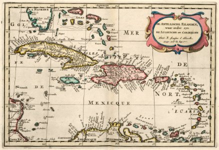
maps of the west-indische compagnie
1700s maps of the caribbean
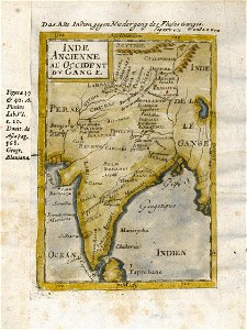
17th-century maps of india
description de l'universe
maps of the iberian peninsula by guillaume delisle
1700s maps of the iberian peninsula
maps of the iberian peninsula by guillaume delisle
1700s maps of the iberian peninsula
bibliothèque nationale de france
sanson map of lorraine
bibliothèque nationale de france
sanson map of lorraine
sanson maps of the netherlands
robert cordier (engraver)
lawrence h. slaughter collection of english maps, charts, globes, books and atlases
1700 maps of the atlantic ocean
lawrence h. slaughter collection of english maps, charts, globes, books and atlases
1700 maps of the atlantic ocean
eran laor cartographic collection
pierre aveline
details of old maps
michael burghers
carte de l'amérique septentrionale by guillaume delisle (1700)
1700 maps of north america
maps by pieter mortier
old maps of asia
maps in the library of congress
1769 maps of europe
nicolaes visscher ii
maps from gallica
lawrence h. slaughter collection of english maps, charts, globes, books and atlases
nypl lionel pincus and princess firyal map division
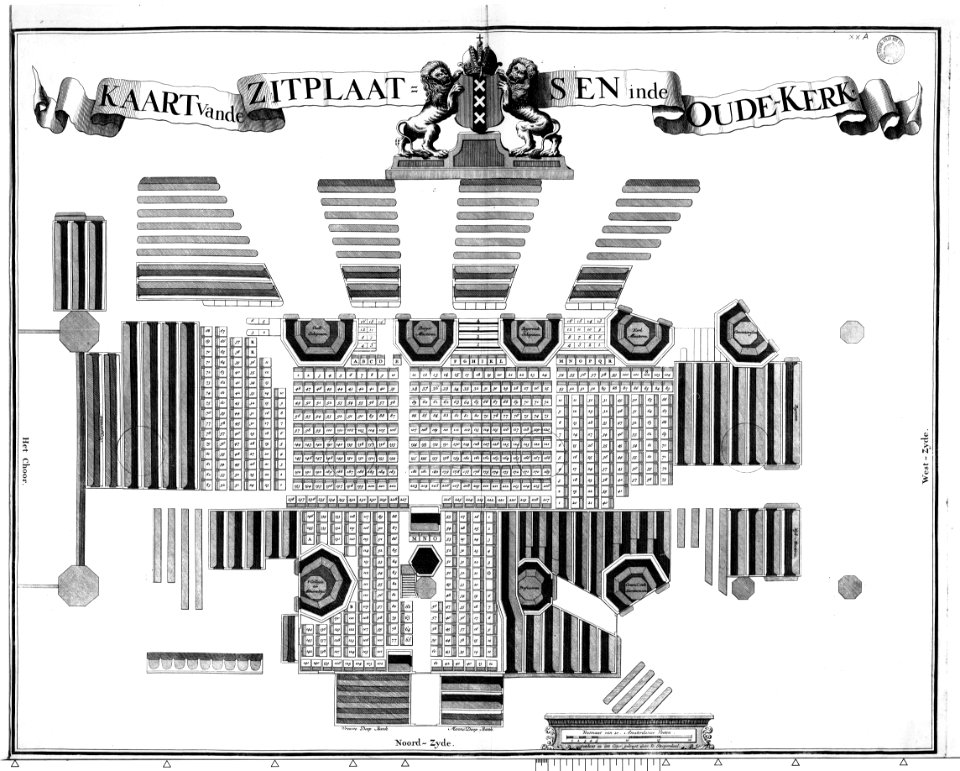
construction drawings in the stadsarchief amsterdam
daniel stoopendaal
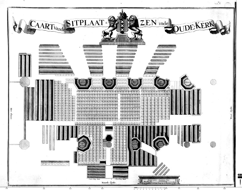
construction drawings in the stadsarchief amsterdam
daniel stoopendaal
1700s maps of the tsardom of russia
1700s maps of eastern europe
eran laor cartographic collection
cornelis de bruyn
maps by pieter mortier
maps from gallica
1700s maps of rhineland-palatinate
maps of vangiones by sanson
maps of algiers by braun & hogenberg
eran laor cartographic collection
pierre mortier
maps in the stadsarchief amsterdam
daniel stoopendaal
1 - 100 of 313
Next page
/ 4